APPLICATIONS
APPLICATIONS
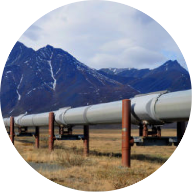
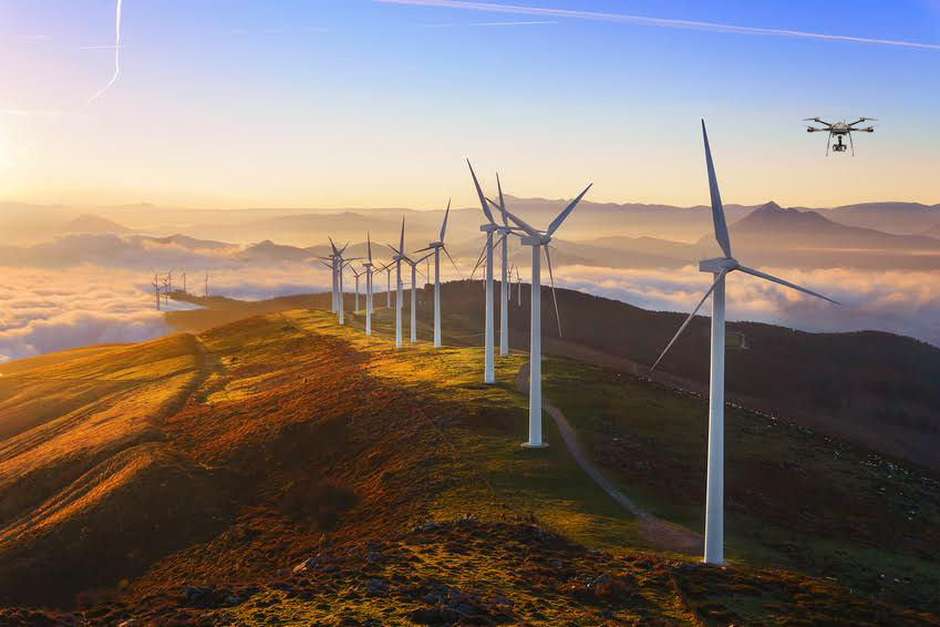
Infrastructure Inspection
For years UAVA has been equipping aerial service providers with platforms, sensors and cameras that meet a variety of inspection requirements from thermal roof inspections and electric grid infrastructure, to aerial night and day time surveillance, to inspection of coal fired furnaces and much more. Our team of application experts will help determine the best combination of aerial platform and payload for you.
Mapping and Surveying
Our alliances with a variety of GIS and Mapping service and software companies gives UAVA a unique advantage to work directly with companies in determining the most economical and effective work flow for almost any type of mapping or surveying project. Additionally, we can provide a variety of remote sensing and survey level equipment for integration into our platforms.
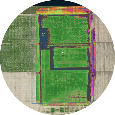
Agriculture and Environment
UAV-America utilizes the cutting edge technology of Micasense and the Red Edge and Sequoia multispectral cameras for a complete solution for agricultural remote sensing. Data captured on a frequent basis enables growers and agronomists to map the health and vigor of crops today as well as observe changes in crop health over time
Law Enforcement, Search and Rescue and Emergency Management
Emergency events such as a train derailment or surveillance of potential forest fire hot spots require reliable, rapid assessments. UAV-America platforms work to keep people safe and provide real time information back to command to provide data necessary for operations. Our team of professionals can help recommend a total solution for your requirements.