Mapping Solutions

UAVA Mapping Payloads
- PhaseOne Sony High Resolution Aerial Camera (50 and 100 megapixel solutions)
- Single or Combination Sony A7R and Flir Vue Pro
- Overwatch Imaging Fully Customized Multi-Sensor Payload with Real Time Processing
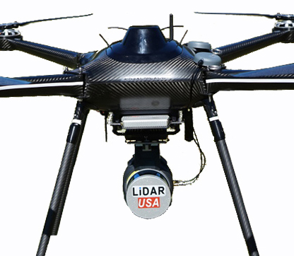
- LidarUSA Snoopy Series Payload
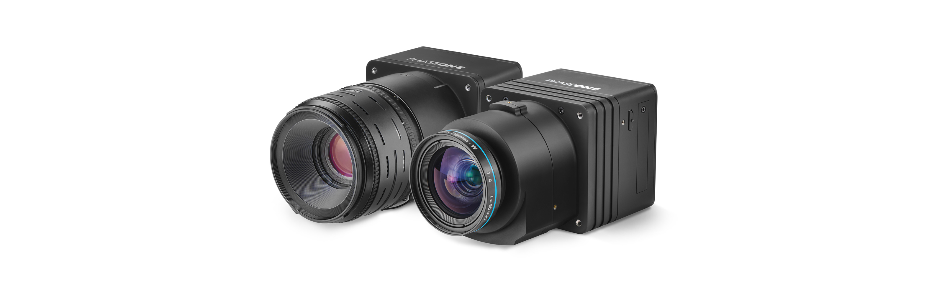
PhaseOne High Resolution Sensors
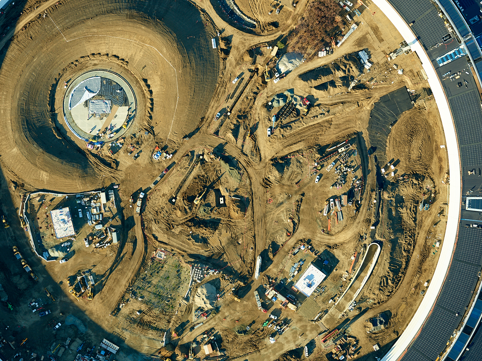
The PhaseOne 50MP camera offers a GSD (Ground Sample Distance) of 1.3cm when coupled with the standard 55mm lens. When flying at altitudes below 400 feet, this camera/lens combination will provide outstanding results.
The Phase One iXU aerial cameras are the world’s smallest and lightest integrated digital medium format aerial cameras, available with a 100 MP or 50 MP CMOS sensor or an 80 MP, 60 MP and 60 MP achromatic CCD versions. All iXU cameras are equipped with internal electronically controlled central leaf shutters to provide the image quality expected from a dedicated aerial photography camera
About our Basic Mapping Package with Optional Flir Vue Pro Thermal Camera
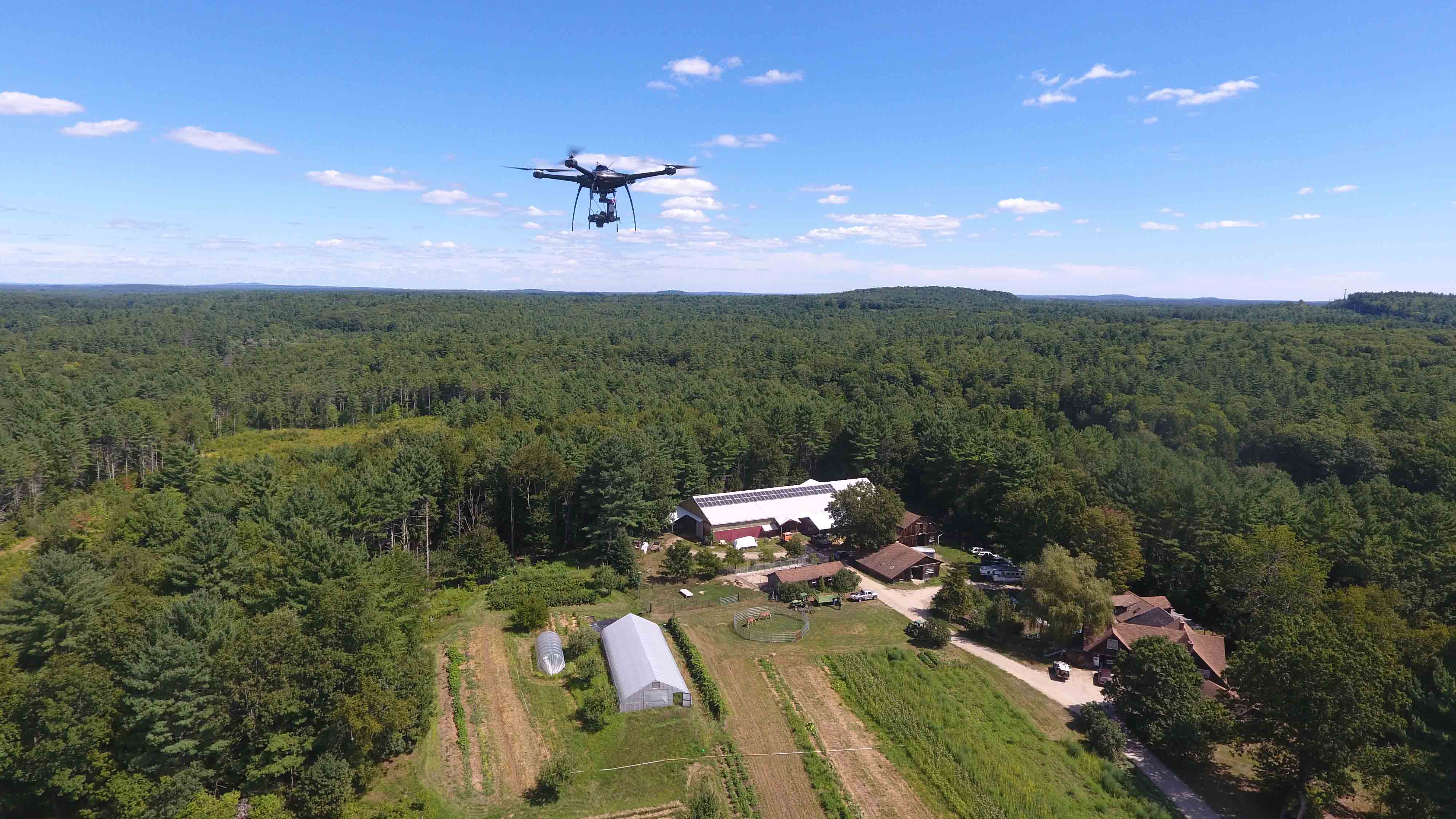
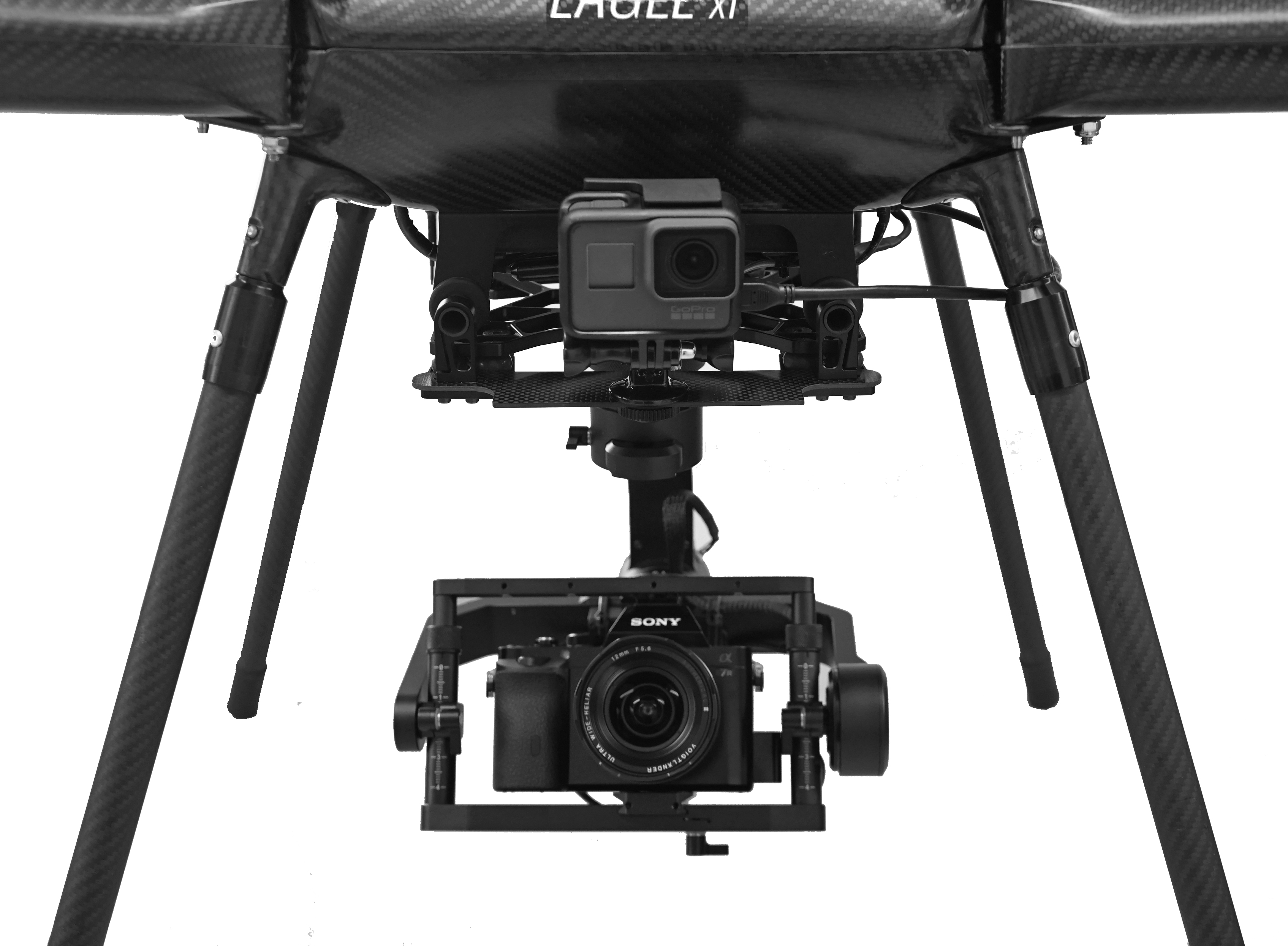
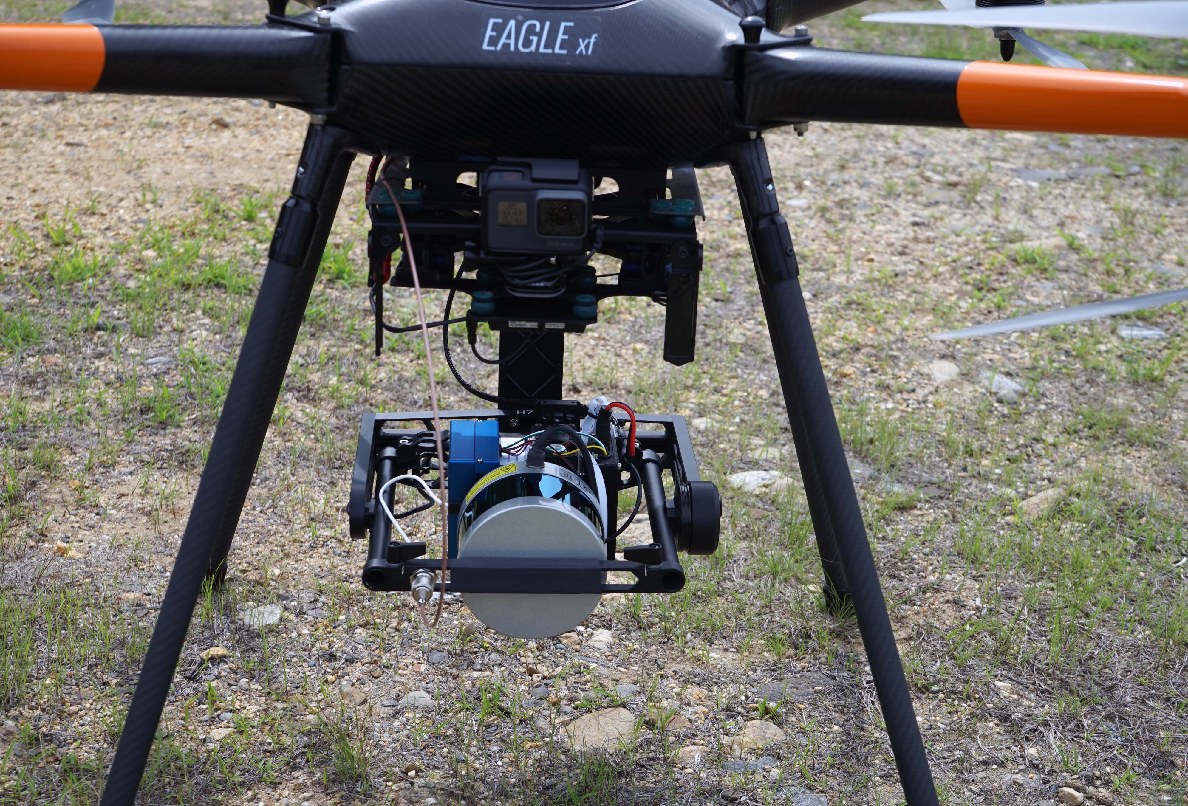
Our basic mapping system consists of the Eagle XF with 3 Axis Gimbal and Sony A6000 camera with standard kit lens, camera trigger, and fully autonomous flight planning. Optional upgrades include: Sony A7 or A9 Camera with Voigtlander Ultra Wide-Heliar 12mm Aspherical III Lens, HD or SD video downlink and monitor, Flir Thermal Camera, Auto GPS Image Tagging, and Additional Remote Control.
Eagle XF with LidarUSA A Series Package
The days of feet on the ground surveying with conventional surveying equipment (GPS, total stations, levels) for topo collection of 5 to several thousand acres is fast becoming a thing of the past. With lidar systems, thousands of acres can easily be scanned in a day. The surveyor still needs to be present to locate sub-surface utilities but all visible information can be captured with the LiDAR and extracted back at the office.
Headwall Optics Hyper-Spectral Camera/Lidar System
The objective when collecting hyperspectral image data is to present ‘square pixels’ to the focal plane array (FPA). This is a function of sensor frame rate, flight speed over the ground, and GPS/IMU accuracy. We use stabilizing gimbals in many instances to assure that no matter what the UAV does while aloft, collected image data is precise.
UAVA Mapping Payloads
Need a different mapping system? No problem. The Eagle XF is designed to be payload flexible. Call us about your specific requirements.