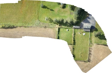
The images can resolve details as small as 3 centimeters. That is, one pixel equals 3 centimeters on the ground. This is accomplished by stitching together 50, 100, 500 or even thousands of individual photos taken from the UAV over the target. The flight path/pattern is programmed into the UAV and the number of photos per second is determined by the path, speed, height and software used to stitch the photos together. Pretty cool.
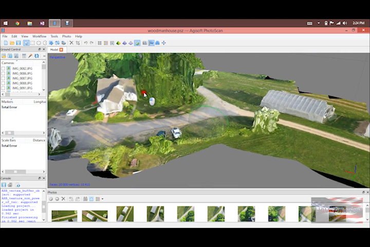
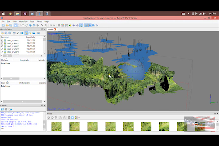
Beginning at the end of the month, we will be offering full turn-key mapping packages that will include everything required to do surveying/mapping. We will be offering multirotor platforms for areas where take off and landing are challenging and fixed wing platforms that can be used to cover as much as 2500 acres an hour. For the actual stitching software, we will include either Agisoft PhotoScan or Pix4D both of which we are authorized resellers for.
Just as importantly, we will be offing complete training and support - Pilot training, maintenance training, and software training. Or if you only need a single target mapped, give us a call – we can help you out with our fleet of UAVs designed to tackle any job.
|
|