


Mapping and Surveying – Aerial Data Collection
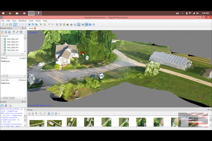
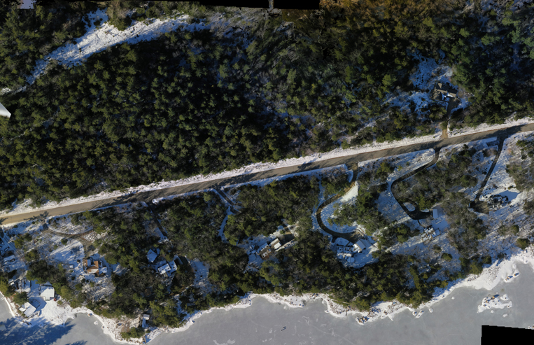
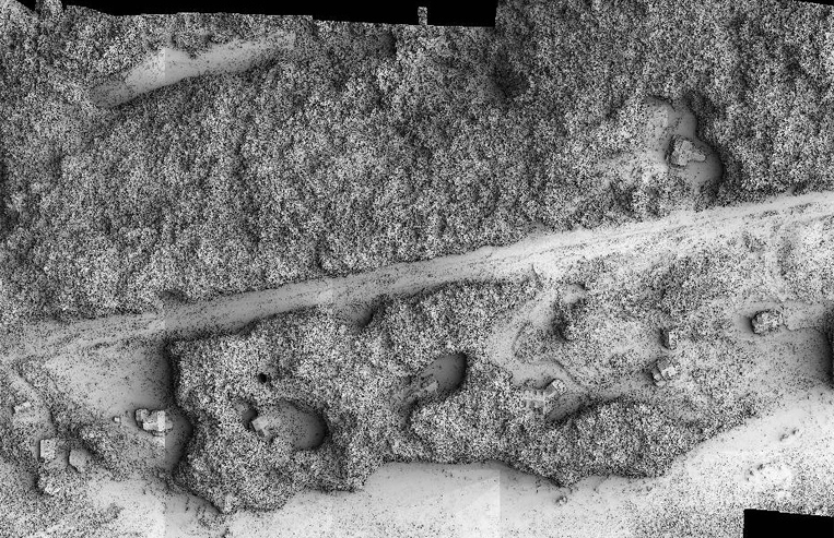
Acquiring data from the air in the form of geo-referenced digital images, can typically provide resolutions up to 1.5 cm per pixel. During a single flight, millions of data points are collected. With the addition of RTK (reference point on the ground), accuracy of those millions of data points becomes extremely reliable – saving time and resources. Instead of spending time on the ground measuring…..time can be spent analyzing.
Some of the industries currently using aerial mapping and surveying with drones include:
- Agriculture
- Construction
- Agriculture
- Mining
- Mapping
- Surveying
- Emergency
- Response
- Aerial Photogrammetry
- Environmental Monitoring
- Real Estate
Our Lidar solution by LidarUSA

Our “no ground control required” and RTK solution by V-Map
Our Turn-Key Geo-Referenced Orthomosaic, DEM, DSM, NDVI and Point Cloud Generation Solution by DroneMapper
For more information or a quote for a turnkey mapping solution, please fill out the contact form below.